gempy.map_stack_to_surfaces

gempy.map_stack_to_surfaces(gempy_model: GeoModel, mapping_object: dict[str, list[str]] | dict[str, tuple], set_series: bool = True, remove_unused_series=True, series_data: list = None) StructuralFrame[source]

Map stack (series) to surfaces by reorganizing elements between groups in a GeoModel’s structural frame.

This function reorganizes structural elements (surfaces) based on a mapping object and updates the structural frame of the GeoModel. It can also create new series and remove unused ones.

Parameters:
  • gempy_model (GeoModel) – The GeoModel object whose structural frame is to be modified.

  • mapping_object (Union[dict[str, list[str]] | dict[str, tuple]]) – Dictionary mapping group names to element names.

  • set_series (bool, optional) – If True, creates new series for groups not present in the GeoModel. Defaults to True.

  • remove_unused_series (bool, optional) – If True, removes groups without any elements. Defaults to True.

  • series_data (list, optional) – List of series data from JSON containing structural relations. Defaults to None.

Returns:

The updated StructuralFrame object.

Return type:

StructuralFrame

Examples using gempy.map_stack_to_surfaces

Video Tutorial “code-along”: Modeling step by step

Video Tutorial "code-along": Modeling step by step

Video Tutorial “code-along”: Faults

Video Tutorial "code-along": Faults

Video Tutorial “code-along”: Onlap relations

Video Tutorial "code-along": Onlap relations

Basics: Data Classes and Modeling API

Basics: Data Classes and Modeling API

Grids: Regular, Octree, and Custom

Grids: Regular, Octree, and Custom

2D Visualization: Sections and Custom Plots

2D Visualization: Sections and Custom Plots

3D Visualization: Interactive Model and Custom Plots
3D Visualization: Interactive Model and Custom Plots
Forward Gravity Modeling

Forward Gravity Modeling

Populating a Structural Model with Properties

Populating a Structural Model with Properties

Analyzing Geomodel Topology

Analyzing Geomodel Topology

Model 1 - Horizontal Stratigraphy

Model 1 - Horizontal Stratigraphy

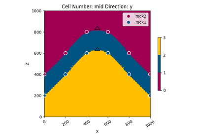
Model 2 - Anticline

Model 2 - Anticline

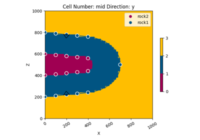
Model 3 - Recumbent Fold

Model 3 - Recumbent Fold

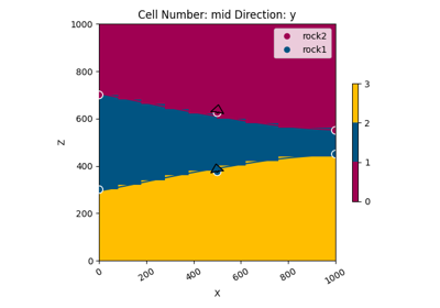
Model 4 - Pinchout

Model 4 - Pinchout

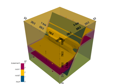
Model 5 - Fault

Model 5 - Fault

Model 6 - Unconformity

Model 6 - Unconformity

Model 7 - Combination

Model 7 - Combination

Set of more complex examples

Set of more complex examples

Alès Basin, France

Alès Basin, France

Claudius, Queensland, Australia

Claudius, Queensland, Australia

Sandstone Greenstone Belt, Western Australia

Sandstone Greenstone Belt, Western Australia

Hecho, Spanish Pyrenees

Hecho, Spanish Pyrenees

Perth Basin, Western Australia

Perth Basin, Western Australia